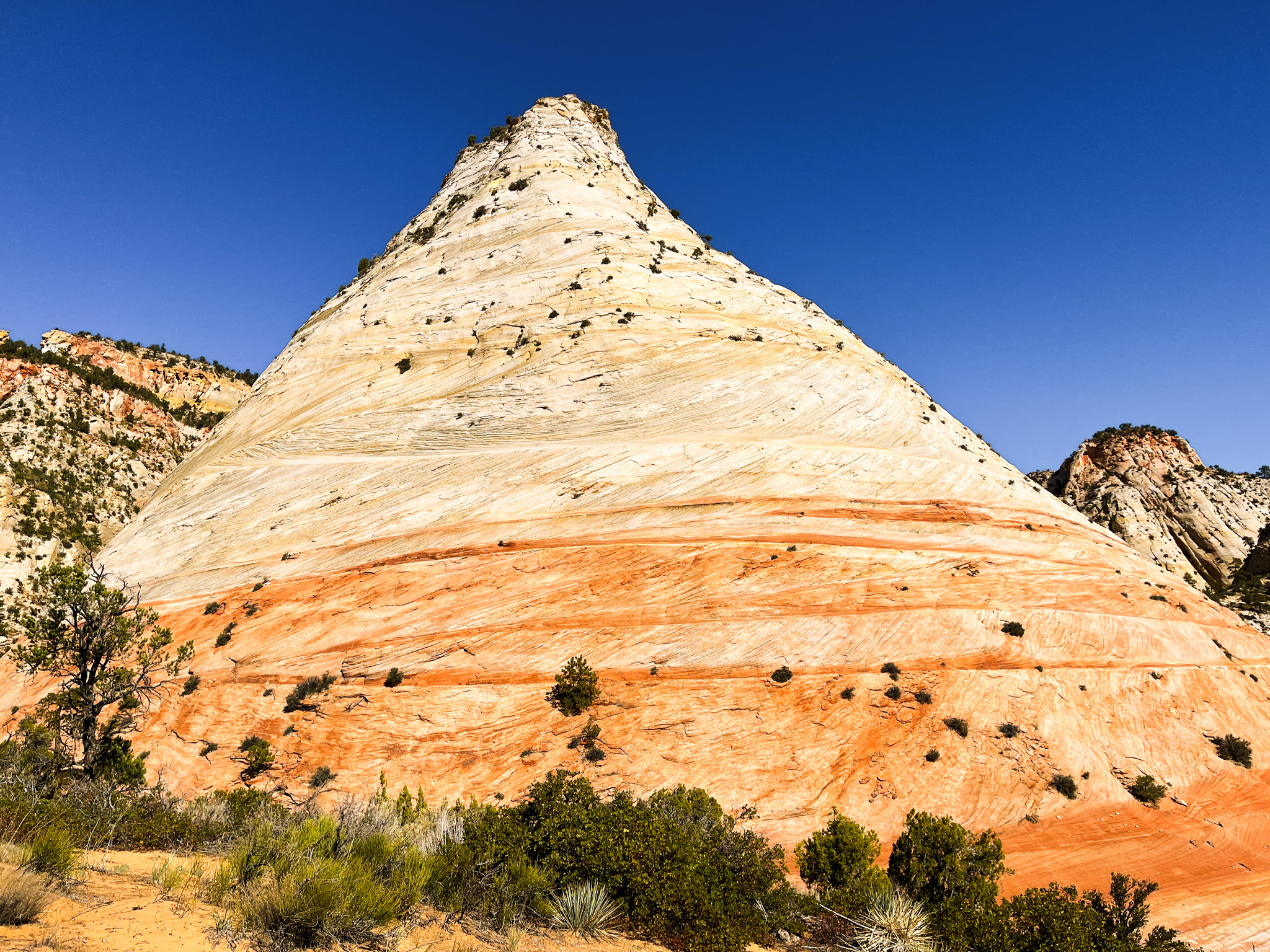

CHECKERBOARD MESA HIKE, ZION NATIONAL PARK
Where: Southwestern Utah (closest city: Springdale)
Why Go: See unique sandstone formations and panoramic views of canyons and cliffs
Hike Stats: 8 miles and 1,800 feet elevation gain (shorter variations possible)
How Long to Visit: 1 – 6 hours
When to Go: Spring or fall
What to Bring: Downloaded trail map, day hiking gear
The Checkerboard Mesa Trail is a hidden gem in Zion National Park. Although this hike is conveniently located along the Zion-Mt. Carmel Highway scenic drive, it remains undiscovered by crowds! I did this hike in mid-October and didn’t encounter a single soul on the trail.
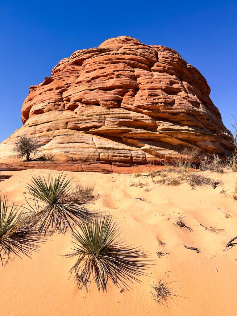
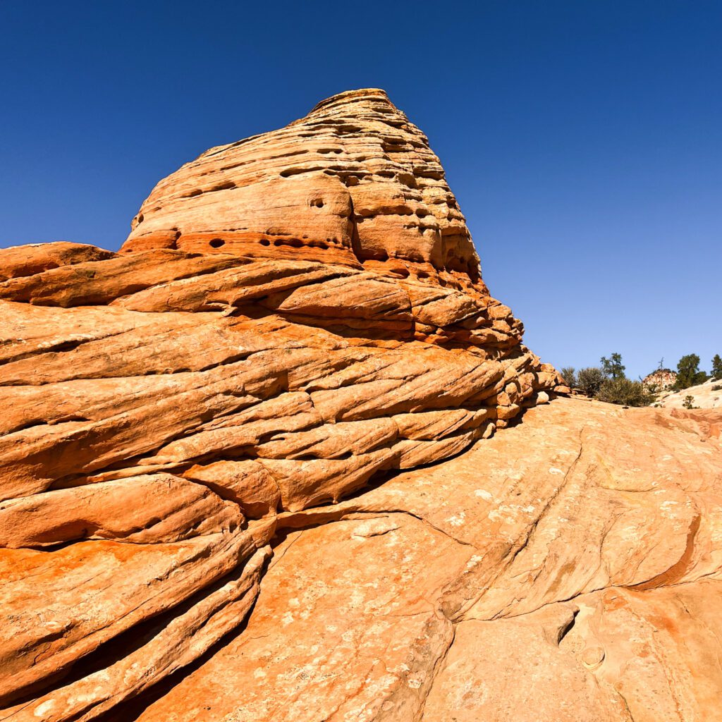
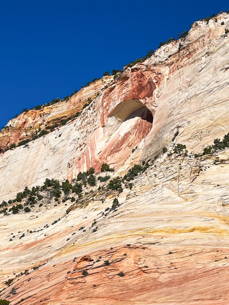
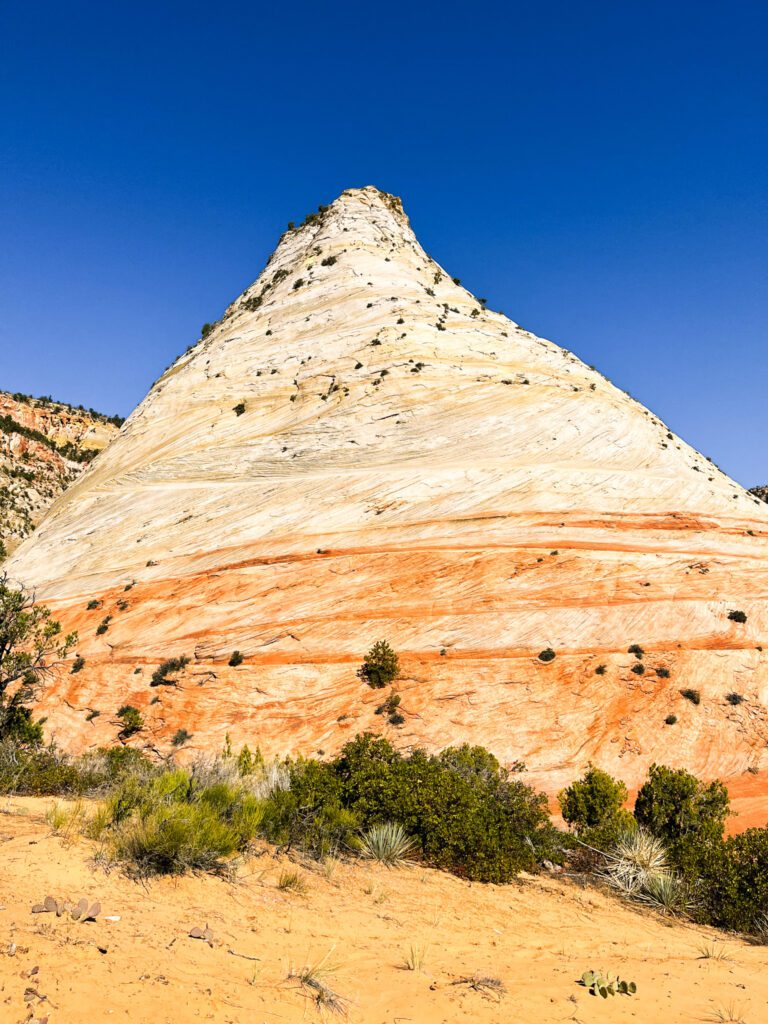
As you hike the Checkerboard Mesa Trail, you’ll see colorful sandstone formations, some with unique checkerboard patterns and striking conical shapes. The hike is a true adventure through Zion’s lesser-explored corners, taking you through a canyon and to panoramic viewpoints overlooking extensive canyons and cliffs.
In this guide to the Checkerboard Mesa Trail in Zion National Park, I’ll provide all the information you need to plan your hike.
If you need a refresher, check out my guide to day hiking. For more places to explore in Utah, browse my Utah destination guides.
Related Articles:
Zion Canyon Hikes
Angels Landing and West Rim Trail
Watchman Trail
Observation Point
Kolob Arch Trail

How Was Checkerboard Mesa Formed?
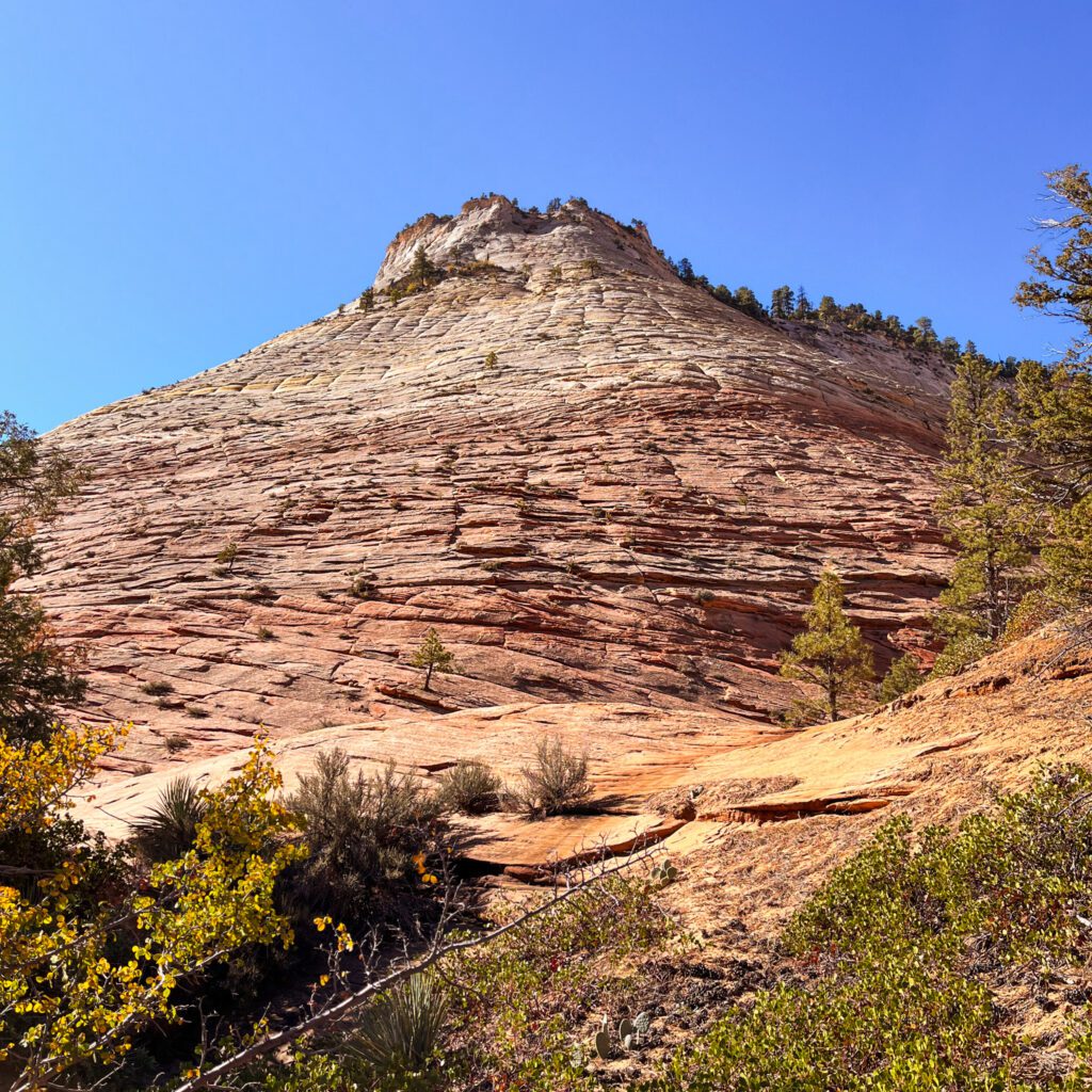
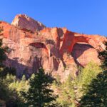
Checkerboard Mesa, Utah is a 900 ft (270 m) tall conical formation off of Route 9 in Zion’s Upper East Canyon. Its name comes from the distinctive checkerboard-like pattern of cracks in its sandstone surface.
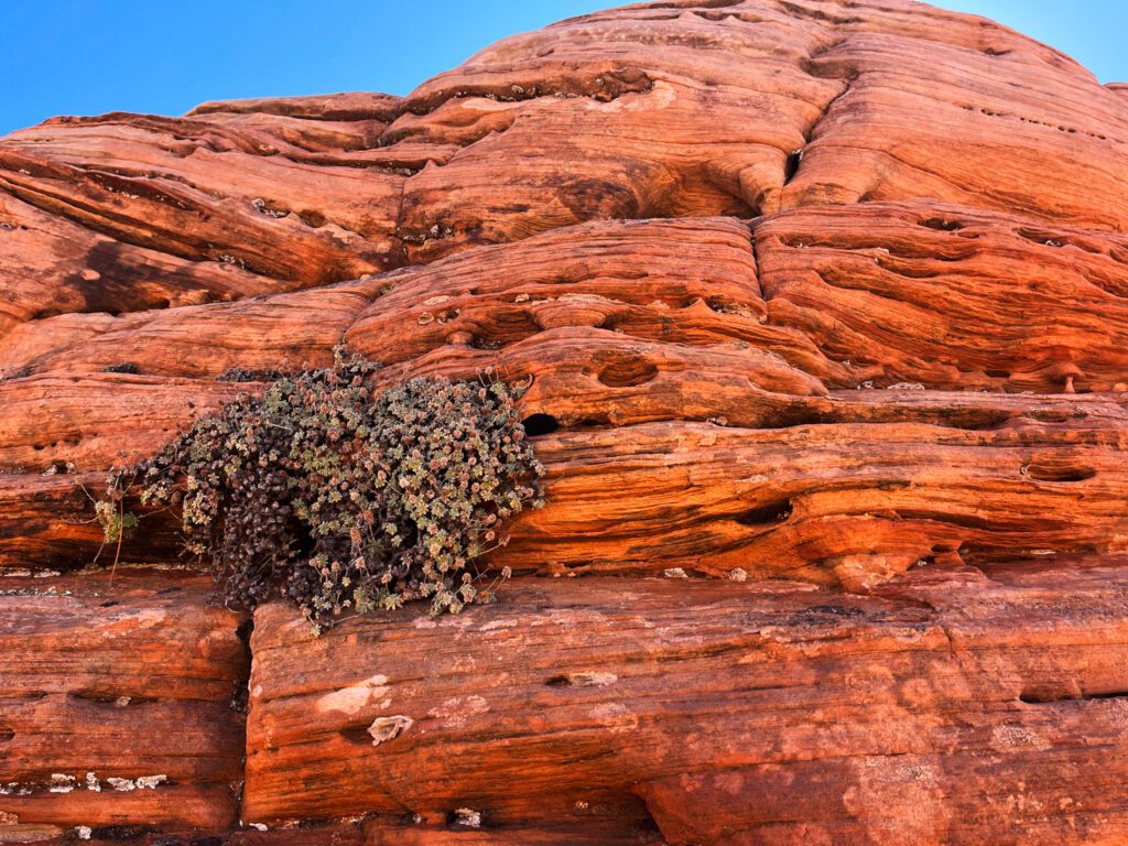
The Checkerboard Mesa geology is quite interesting: the vertical lines resulted from expansion and contraction caused by extreme temperature fluctuations (for example, scorching summer days and frigid winter nights). Freeze-thaw cycles of introduced water exaggerated this effect. The horizontal lines originated from wind erosion (cross-bedding).

Checkerboard Mesa Map and Trail Information
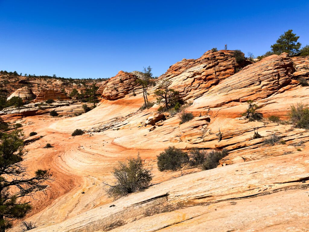
The Checkerboard Mesa hike is 8 miles out-and-back, with 1,800 feet elevation gain. Anticipate a slower hiking pace than usual due to somewhat difficult terrain and challenges navigating. While the trail doesn’t ascend to the summit of Checkerboard Mesa itself, it winds through panoramic vistas of the breathtaking surroundings.
You don’t need to trek the full 8 miles to see the highlights of this hike! It’s worthwhile to hike just the first mile up the canyon to the saddle viewpoint. Alternatively, if you’re short on time, consider stopping at the Checkerboard Mesa Viewpoint parking lot for a quick visit when driving through Route 9.

Checkerboard Mesa Hike Guide
To find the trail, follow what looks like a dry creek bed, which will lead you into a canyon. The path through the canyon is shaded but sandy. While the general direction is clear (following the canyon), be prepared for a slower pace than usual due to obstacles such as overgrown plants, sparse trail markings, and scrambling over rocky ledges.
If you’re uncomfortable navigating large ledges, some have bypass trails (although slippery and steep) through overgrown plants to the side. The section through the canyon spans 1 mile in total, with the final 0.1 mile ascent out of the canyon being particularly steep and slippery.
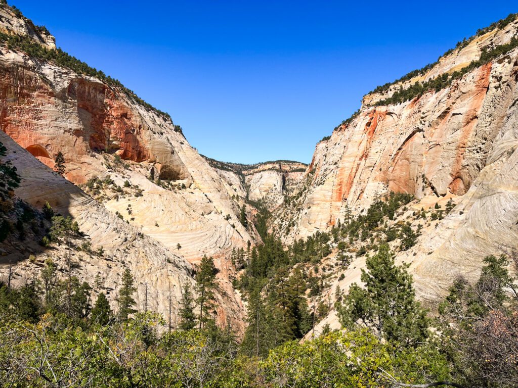

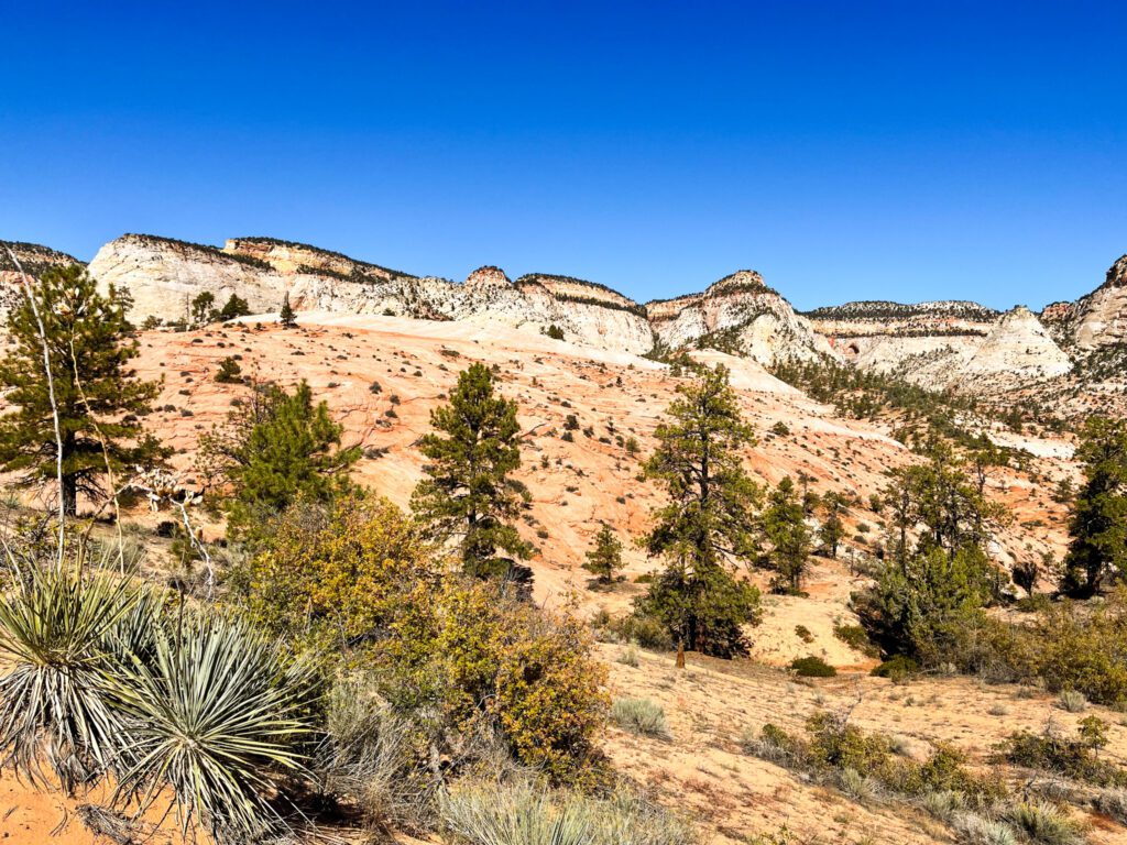
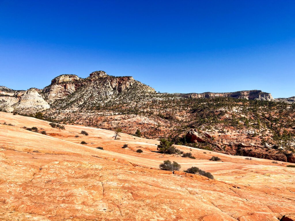
After ascending out of the canyon, you’ll reach a saddle offering stunning views of the White Cliffs near Route 9 and the Parunuweap Canyon on the opposite side. Continuing along the trail, you’ll traverse the backside of the Checkerboard Mesa, giving you great vistas of conical sandstone formations.
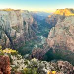
This part of the hike continues along an exposed rocky plateau, where the trail becomes less obvious and is poorly marked. Additionally, the lack of shade means it feels very hot. I personally explored this area for another ~2 miles before turning around. The panoramic views of the canyon from this vantage point were spectacular and I didn’t feel the need to go further.
If you continue the full 3 miles from the saddle to the end of the trail, you’ll descend to the East Fork of the Virgin River. Be aware that the final part of this descent requires scrambling and demands some technical skills.

Useful Tips
- Limited phone service. Expect limited to no phone service on the Checkerboard Mesa Trail and on the drive to the parking lot. Download Google Maps of the area in advance. Also, use a hiking GPS app for this hike; the trail is poorly marked and difficult to navigate.
- Beat the heat. Start hiking early in the morning. If you can, visit in spring or fall over summer. After the first mile, this trail is completely exposed and gets very hot.
- Leave no trace. Let’s keep this place pristine!
- Check trail conditions. The trail is open year-round, but be mindful of snow in winter.

Zion National Park Weather and When to Go
Aim to visit Zion National Park in spring or fall. Summers are unbearably hot and pose risks of flash floods. The Checkerboard Mesa, Zion hike is very exposed and likely will not be pleasant in the summer heat. Arrive at the trailhead early to start hiking before it gets too hot. Check the National Park Services pages for more information on weather in Zion.
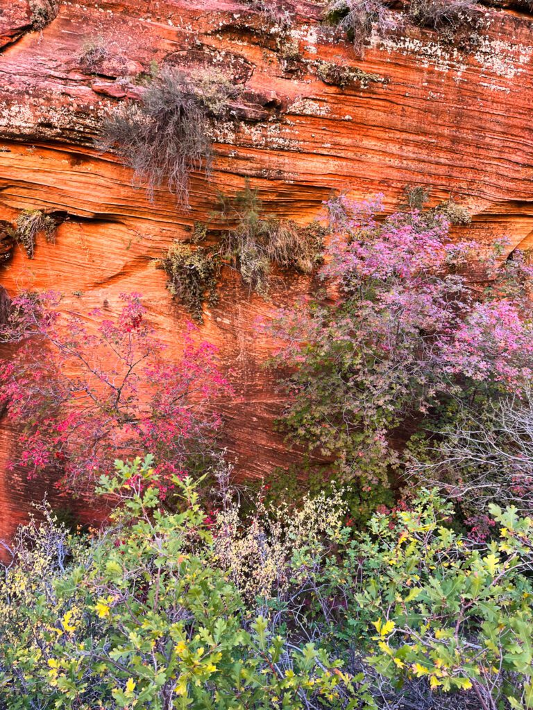
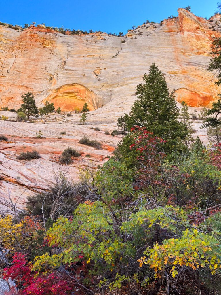
Although you probably won’t have to worry about crowds on the Checkerboard Mesa hike, be mindful of high season when planning your overall Zion trip. Zion sees its highest influx of visitors between April and September. If possible, avoid visiting Zion National Park on weekends and holidays. Shoulder seasons (for example, March or October) are great times to visit to avoid crowds. My last visit was in mid-October, and I appreciated the cooler temperatures and vibrant fall foliage.

If you’re planning a spring trip to Zion, keep in mind that higher elevation trails may still have lingering snow and ice. The Narrows hike may also close in spring due to high water levels.
Zion is open year-round, and it’s also possible to visit during winter. While the experience will be much quieter, be prepared to drive in winter conditions since the shuttle doesn’t operate for most of winter. Also, expect snow and ice on higher elevation trails, requiring specialized hiking gear. While the road to Checkerboard Mesa (Zion-Mt. Carmel Highway) typically stays open year-round, confirm current conditions before heading out.

Zion National Park Information
Zion National Park entrance is $35 per car, and you’ll pay at the entry station along the road. You can use your US National parks pass or purchase one there for $80.
There are no specific park hours. Dogs are not permitted on the Checkerboard Mesa hike. Although permits are required for other trails in the park, you don’t need one to hike the Checkerboard Mesa trail.

Checkerboard Mesa Directions and Parking
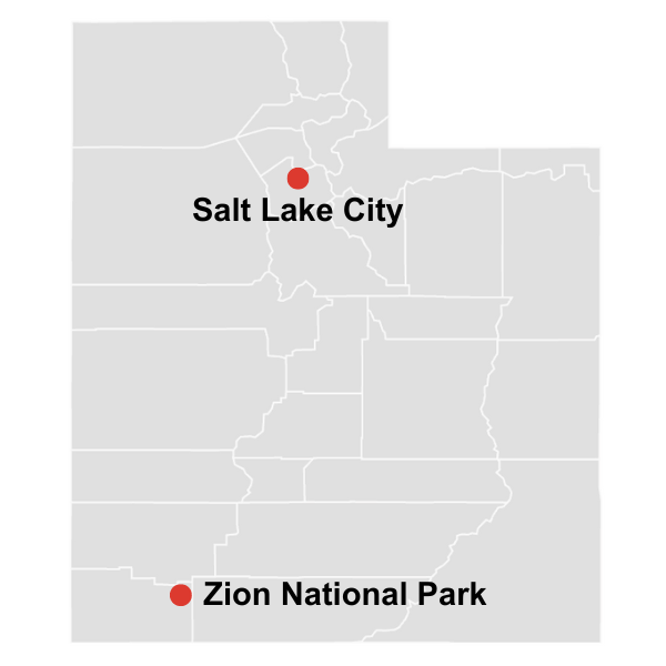
Zion National Park is located in Southwestern Utah. The Checkerboard Mesa trail is along Route 9, which runs through Zion’s Upper East Canyon. The trailhead is a scenic 30 minute drive from the most famous part of the park, Zion Canyon. The closest town to Checkerboard Mesa is Springdale.
As there’s no shuttle to get to the Checkerboard Mesa hike, you’ll need a car to navigate around this area of the park. Navigate to the small parking area located across the road from the trailhead. When driving west to east, you’ll find this lot ~0.7 mi before the Checkerboard Mesa Viewpoint Parking.

What to Bring to Hike to Checkerboard Mesa
For a full list of what to bring to Checkerboard Mesa, refer to my complete day hiking checklist. For this hike I would stress the following:
- Trail Map. This trail is difficult to navigate, and you’ll want to download the map ahead of time.
- Day Hiking Backpack. Invest in a high-quality and durable pack that will last for years!
- Hiking Shoes. Women’s, Men’s. I do not recommend running or general athletic shoes for this hike. Their lack of traction will cause you to slip.
- Hiking Socks. Women’s, Men’s. Wool is essential to keep your feet dry and blister-free.
- Hiking Pants. Women’s, Men’s. Many sections of this hike are very overgrown. Wear long pants to protect yourself from scratches.
- Hiking T-Shirt. Women’s, Men’s. Quick-drying T-Shirts are ideal. Tank tops will cause your skin to rub uncomfortably against your backpack straps.
- Lightweight Long-Sleeve Shirt. Women’s, Men’s. This is the best way to protect yourself from the sun and mosquitos.
- Hat. Protect yourself from the sun on this exposed hike.
- Sunscreen.
- Lip Balm with SPF.
- Water in a Reservoir or Bottle. Bring a lot of water – this is a long and hot hike with no water sources.
- Electrolytes. These help prevent dehydration and fatigue, especially on strenuous hikes in hot weather.
- Snacks, Packed Lunch
- Portable Charger and Cable. Be prepared if your phone battery dies.
- Headlamp and Spare Batteries. Whether or not you plan to camp, this is a safety essential.
- Garmin inReach (optional). Sends your GPS coordinates and calls for help in emergency situations.
- First-Aid Kit

Where to Stay
Within Zion National Park itself, you can either camp or stay at Zion Lodge. Staying in Springdale or nearby towns such as Hurricane opens up many more lodging options. Accommodation near Zion sells out quickly, so book as far in advance as you can!
Zion National Park Camping
Campsites within Zion include: South Campground, Watchman Campground, and Lava Point Campground. All of the Zion campsites require reservations, which can be made 6 months in advance and sell out quickly.
Accommodation in Zion National Park
The only accommodation inside the park is Zion Lodge.
Accommodation in Springdale
Splurge:
Hampton Inn & Suites
Flanigan’s Resort and Spa
Accommodation in Hurricane
Mid-range:
Hurricane Hideaway Lodging
Wingate by Wyndham
Sleep Inn & Suites
Comfort Inn & Suites

Other Things to Do in Zion National Park
Checkerboard Mesa is located on the Zion-Mt. Carmel Highway, the stretch of Utah’s Route 9 that runs between Springdale and Mount Carmel Junction. This stunning drive offers endless sightseeing opportunities, so plan on extra time for stops!
During the drive you’ll pass through the Zion-Mt. Carmel Tunnel, an engineering marvel carved into the sandstone cliffs. You’ll also have the opportunity to explore many hiking trails that cater to all skill levels. Among these, the most popular is the 0.9 mile Zion Canyon Overlook Trail. There are many other viewpoints along the Zion-Mt. Carmel Highway, and you can explore them by stopping in the various parking pullouts.
In addition to the Zion-Mt. Carmel Highway area, make sure to check out the most famous section of the park, Zion Canyon, as well as the lesser-known Kolob Canyons. Also consider extending your Utah trip to include a visit to Bryce Canyon, which is just a two-hour drive away and can be explored in a day or two.
Recommended Zion Hikes:
Zion Canyon Hikes
Angels Landing and West Rim Trail
Watchman Trail
Observation Point
Kolob Arch Trail

Thanks for reading, and I hope this guide to the Checkerbord Mesa Hike in Zion National Park inspires you to explore this lesser-visited part of the park! Would you include this trail on your Zion itinerary? Let me know your thoughts and questions in the comments.
For more places to explore, check out my guides to other hikes in Utah.
Confirm all logistical and safety information before your trip. Also If you buy through links on this site, I may earn an affiliate commission. Thanks for supporting me in creating free content for you to enjoy!
Save this post for later and share on Pinterest!
HIKING TRIP RESOURCES
Head to my Travel Resources Page for more recommendations.
Hiking Checklist and Backpacking Checklist. Make sure you have everything you need before heading out.
Viator and Get Your Guide. If you don’t want to hike or camp alone, there are various organized tours you can join, ranging from day trips to multi-day excursions.
Booking.com. This is my go-to platform for booking accommodation since it consistently gives me competitive prices and additional discounts based on usage.
LifeStraw. This easy-to-use water filter guarantees that you always have access to clean drinking water.
Travel Credit Card. Earn substantial points for travel-related expenses and a very generous bonus when opening an account.
Comments



Hi, I’m Kristina! I’m a solo female traveler sharing my personal experiences around the world. Authentic travel is important to me; in my destination guides I emphasize not just the most spectacular sights but also the local stories and history.
Other things I’m passionate about are discovering hidden gems, budget-friendly travel, and hiking and backpacking. My goal is to show you how to seek adventurous experiences for yourself!

Leave a Comment